Aerial Inspections
The use of drones to inspect infrastructure such as power lines, pipelines, and solar panels. Drones equipped with high-resolution cameras and sensors provide faster, safer inspections.
Aerial inspections represent a significant advancement in how industries evaluate and monitor critical structures such as power lines, pipelines, and solar panels. Understanding terms like "Aerial Inspections" is essential not only for professionals in fields like engineering and energy but also for anyone interested in the intersection of technology and public safety.
What is Aerial Inspections?
Aerial inspections refer to the use of drones to inspect infrastructure such as power lines, pipelines, and solar panels. These drones are equipped with high-resolution cameras and sensors that allow for faster and safer evaluations than traditional inspection methods. Aerial inspections provide the ability to capture detailed images and data from hard-to-reach or hazardous locations, thereby enhancing efficiency and safety while reducing downtime and operational costs.
Key Concepts
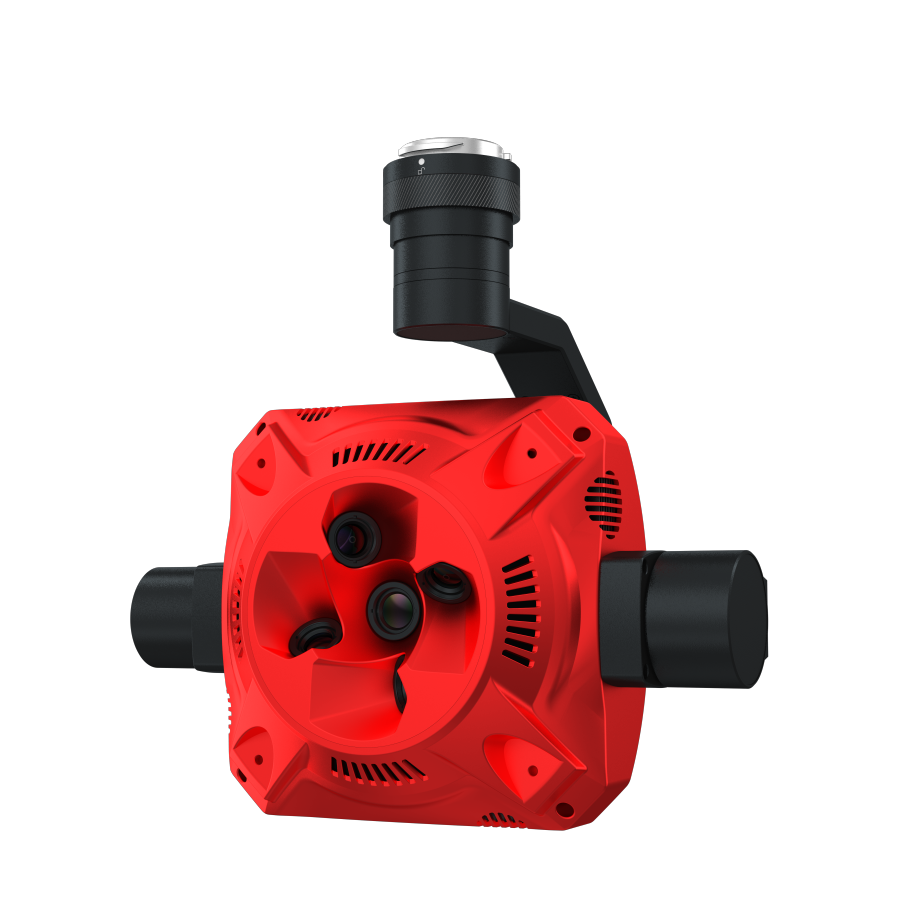
Drones: Unmanned aerial vehicles (UAVs) that are remotely piloted or operate autonomously to perform inspections.
High-Resolution Cameras: Essential for capturing clear images, which can reveal issues not visible to the naked eye.
Sensors: Including thermal and LiDAR sensors, which gather detailed data related to temperature, structural integrity, and topographical features.
Data Analysis: The process of interpreting the images and data collected to identify potential problems and inform maintenance decisions.
Applications and Relevance
Power Lines: Regular inspections help identify damage, vegetation encroachment, or corrosion, ensuring a reliable electricity supply.
Pipelines: Drones can detect leaks and other anomalies in hard-to-reach pipeline infrastructure, reducing environmental risks.
Solar Panels: By detecting issues such as hot spots or dirt accumulation, aerial inspections can maximize efficiency and extend the lifespan of solar installations.
Public Safety Inspections: Drones can assist in monitoring bridges, roads, and buildings for structural integrity, potentially preventing collapses and accidents.
Challenges and Considerations
Regulatory Restrictions: Compliance with aviation regulations and restrictions can limit where and how drones can be operated.
Weather Dependency: Adverse weather conditions can hinder drone operation and affect data quality.
Data Privacy: Concerns over privacy and surveillance may arise in residential or populated areas.
Technical Limitations: Battery life, flight range, and data processing capabilities can limit the scope and duration of inspections.
Future Trends and Innovations
AI Integration: The use of artificial intelligence for real-time data analysis may enhance the capabilities of drones in detecting and diagnosing issues.
Swarm Technology: Coordinated flights of multiple drones could allow for more comprehensive and efficient inspections.
Enhanced Sensors: Development of more advanced sensing technologies could improve detection of subtle changes indicative of structural issues.
Automated Reporting: Advances in technology will likely lead to automated generation of reports based on the data collected, streamlining the inspection process.
Aerial inspections are transforming how industries approach infrastructure monitoring and maintenance, combining speed, safety, and detail in one innovative solution. As technology continues to evolve, the role of drones in this field is poised to expand, offering significant benefits in terms of efficiency, safety, and effectiveness. Understanding the dynamics of aerial inspections not only enhances operational practices but also contributes to broader efforts in risk management and public safety.