DroneSense
DroneSense provides complete scene intelligence in real-time for key decision-makers.
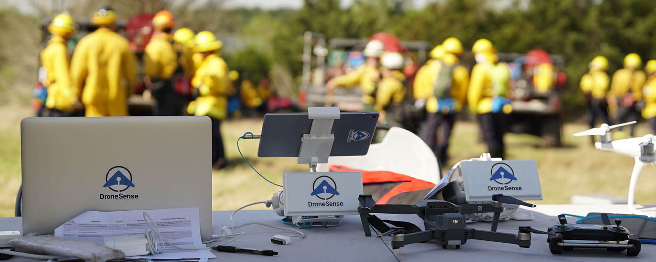
The platform allows first responders to securely collaborate in missions alongside drone pilots using mobile devices or tablets.
DroneSense provides secure live video streaming with sub-second latency on any connected desktop or mobile device.
Users can create custom map objects such as hazards, towers, and takeoff/landing zones visible to pilots and command staff.
The platform provides comprehensive situational awareness, including flight path visualization, basic telemetry data, and battery health monitoring.
DroneSense offers map measuring tools and a wide range of overlays like weather radar and US wildfires, and public Esri base layers to enhance agency operations.
Revolutionary Platform for Drone Operations
In the rapidly evolving world of drone technology, DroneSense emerges as a comprehensive platform that redefines the way we perceive and utilize unmanned aerial vehicles. It's not just a tool; it's a complete ecosystem that provides unparalleled situational intelligence, innovative collaboration tools, and robust management capabilities for drone operations.
DroneSense is designed to bridge the gap between first responders and drone pilots, fostering a seamless real-time collaboration that is crucial in high-stakes situations. It paints a vivid, comprehensive picture of the scene, allowing for informed decision-making and swift action.
One of the standout features of DroneSense is its live video streaming capability. This feature allows for real-time visual access to the scene, providing invaluable insights that can significantly enhance operational efficiency and effectiveness. Whether you're in the heart of the city or in the remotest corner of the world, DroneSense ensures secure access from anywhere, anytime.
But that's not all. The platform also boasts an array of map feature layers, map measuring tools, base layers, and overlays. These features provide a multi-dimensional view of the operational area, offering a level of detail and precision that is simply unmatched.
DroneSense is more than just a one-size-fits-all solution. It's a highly customizable platform with a flexible interface that can be tailored to the unique needs of different organizations. Whether you're a law enforcement agency tracking down a suspect, a search and rescue team navigating treacherous terrains, a firefighting unit battling raging infernos, an emergency response team dealing with a natural disaster, or any other public safety organization, DroneSense can be adapted to your specific operational requirements.
In essence, DroneSense is not just a platform; it's a game-changer. It's a tool that empowers organizations to harness the full potential of drone technology, transforming the way we respond to emergencies and safeguard our communities. With DroneSense, the future of public safety is not just secure; it's promising.
Our Blog


